
Episode 2: Powering the Next Generation of Apps: Imagery APIs for Developers
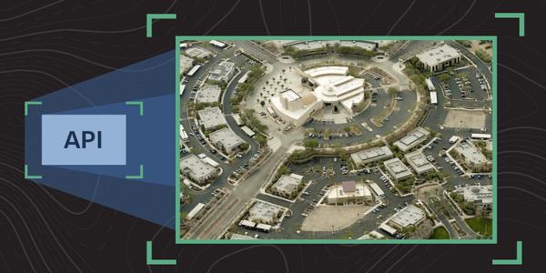
See what’s possible when precision imagery meets developer innovation.
Streamlined Integration
Learn how our updated developer program makes it easier than ever to integrate high-quality imagery and spatial data into your applications — from concept to production testing in minutes.
Unmatched Imagery Detail
Explore our extensive imagery library to see how superior resolution, clarity, and oblique views reveal details and provide insights other solutions can't match.
Live API Demo
Watch a live demo showcasing new Imagery API capabilities that simplify integration and expand what’s possible.
Easy Access Options
Discover how to get started quickly through our self-serve sandbox or by joining our Free Trial Early Access Program.
Plus, get a first look at the latest new features available in our Property Viewer.
Who Should Attend:
- Developers and product managers: Building or enhancing applications with aerial imagery and spatial intelligence.
- Geospatial analysts and technical leaders: Looking to integrate premium imagery and data into workflows or platforms.
- Other Eagleview customers curious about new features.
Stay Connected
All sessions will be recorded and added to the Eagleview One Flight Meetup YouTube Playlist so you can revisit anytime.

UP TO THE MINUTE